Trips to Japan are always a blur of friends and relatives, with lashings of beer and sake, and the best food I’ll eat all year.
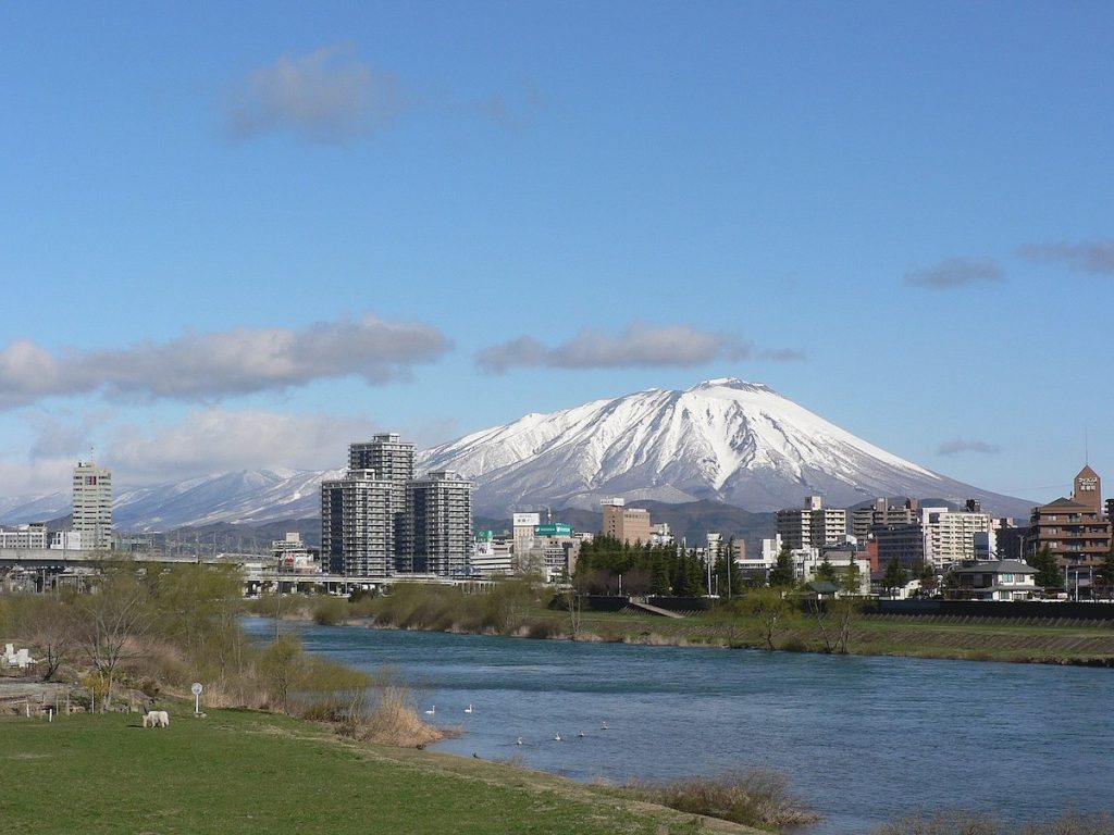
I wanted to cover a bit of new ground despite a packed schedule, and so I laced up my boots, bought a couple convenience store onigiri, and boarded a three-car local train to the prefectural capital of Morioka. I had plenty of time for reading on the 90-minute ride.
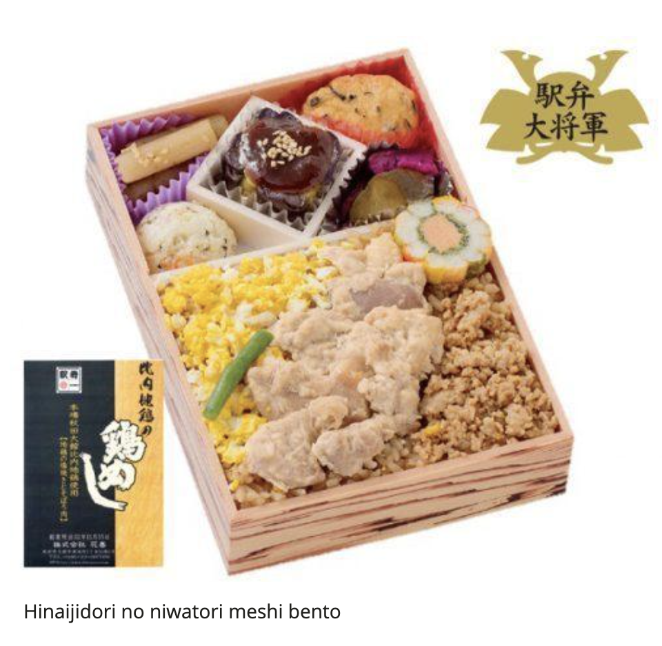
The station was also the last chance to pick up something for my evening meal. I chose a hinaijidori no niwatori meshi ekiben, which apparently contains the tenderest chicken in this part of Japan.
The local bus was busy with an after school and after work crowd, but I was the last passenger by the time we reached Hachimantai 90-minutes later. The driver asked me if I was staying at the hotel next to the bus stop, and when I said mine was three streets further on, he drove me down to the corner so I could avoid some of the rain.
I was staying in a small pension called Entre-deux Mers where there was just one other off-season guest. I’d found it that morning entirely at random when searching online and packing my gear in a last minute scramble to take advantage of good weather the following day.
The village is located at the base of the active stratovolcano complex I’d be climbing, and so the entire region is filled with hot springs. There was a small onsen in my pension, and I had the scalding sulphur-scented bath all to myself.
Afterwards, I took my ekiben downstairs to the pension’s spacious lounge, where I could eat it with a cup of tea. The owner came out and we had a long chat about the mountain and his travels in Europe, bringing back Japanese vocabulary I thought I’d long forgotten. We would continue discussing some of those same topics when he served me breakfast at 5:30am.
There are seven main trailheads around the base of Mt. Iwate (岩手山), a couple of them likely established during the Edo Period when yamabushi (mountain ascetics) climbed to the peak at night for sunrise prayer.
I chose the Nanataki Trail (七滝コース), one of the longer routes that passes through several distinct ecosystems on its way to the summit.
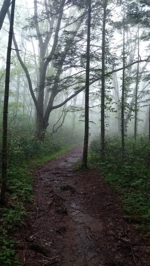
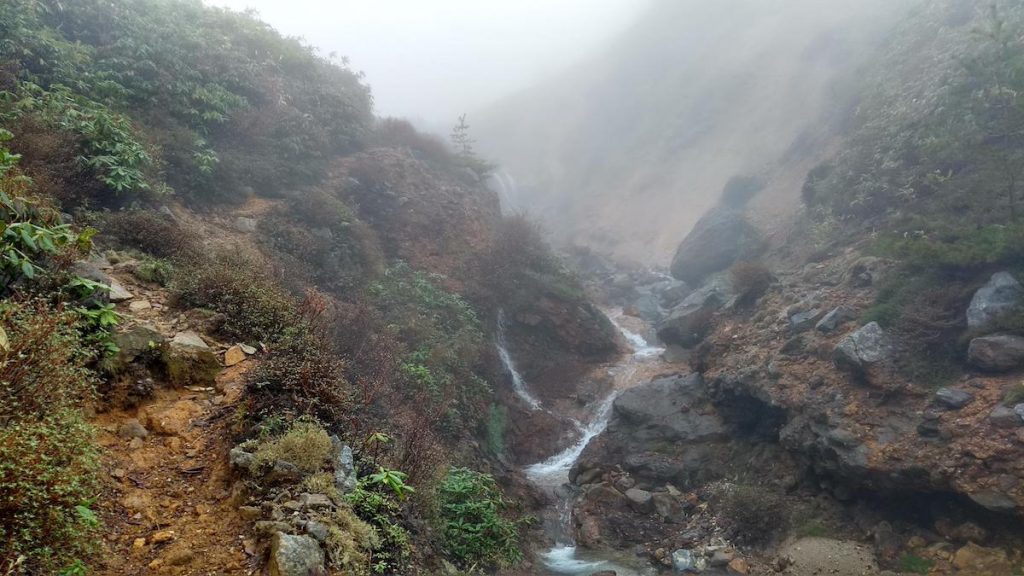
By 6am, I was hiking through thick deciduous forest shrouded in mist and light rain. The first couple hours were easy walking on a gradual incline, apart from a couple sections of muddy ground.
I passed several waterfalls on that first stretch, including Nanataki Falls, which gives the trail its name.
I was soon out of the rain but up in the clouds.
For a while, I thought I might finish much sooner than the 11 hours I was expecting, but that estimate ended up being accurate for reasons I hadn’t foreseen.
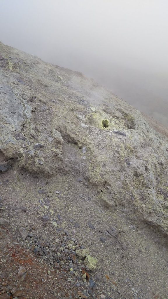
The forest thinned as I entered a section called Ojigokudani (大地獄谷) — “The Great Hell Valley” — where the trail ran along a narrow ridge of compressed ash and lava, with a precipitous slope on one side and volcanic vents on the other.
The ground was encrusted with bright yellows, oranges and reds, and great holes in the earth belched steam that formed sulphur crystals on the seams of my wet backpack. The ground was warm enough that I could feel it through my boots.
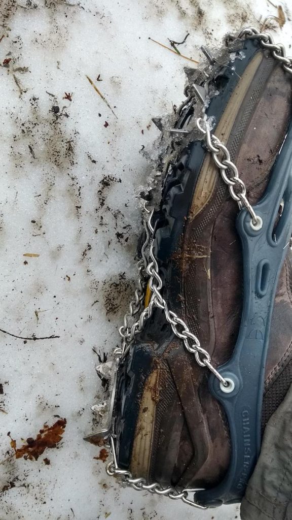
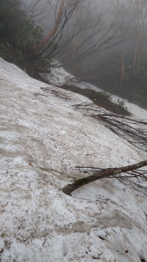
It was just beyond this fume-laden area that I encountered heavy snow. I pulled on my spikes and began to trudge through regions where bent trees blocked my path, but I soon had to stop because thick fog obscured the route at the far side of a broad snow slope.
I hesitated and checked several possibilities, but I was reluctant to descend too far in case it was wrong and I couldn’t get back up. I backtracked and checked an alternate route, but that was covered by an even larger snow field, with no sign of where the trail might be.
And so I leaned against a rock and decided to wait it out. The sun finally burned a patch through the clouds half an hour later, and the fog cleared just long enough for me to cross an overhang and spot the route from above. As I suspected, it was at the bottom of the slope, near a thundering stream.
The map informed me that this next stretch is called Ohanabatake (御花畑) — “flower field” — and in summer hikers can “enjoy the view of the towering cliffs from below.” I spent most of the day trying to figure out where I was while crossing deep snow slopes in heavy fog, or kicking my way up them.
Walking was relatively easy with spikes, but every once in a while I’d break through up to the knee, and once I went through up to my hip in a freezing stream. Luckily I was able to grab a tree and haul myself out. Most of the time, I could hear water running under the snow and avoid those bad patches, but I hadn’t expected this one on such a steep incline.
It was impossible to see where the route continued beyond these snowy stretches. Whatever trail markers existed must have been several feet beneath me. And so I trudged back and forth in the fog and did a lot of guesswork with a topo map, devising questionable routes of my own making.
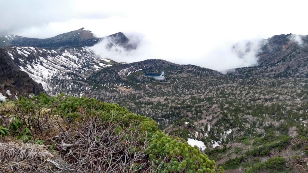
I lost the trail in that long snowy Ohanabatake section and climbed what I thought was the right slope towards a cleft in the ridge. The higher I got, the more obvious it became that this was a bad idea.
What looked like firm ground near the top of a steep slope turned out to be volcanic ash and unstable rock that broke away and fell in huge chunks when I attempted to scale it. It was difficult to move without starting the ground sliding, which would have sent me to the bottom again. But I was already so far up that going back was no longer a safe option.
I spotted a slope of tangled trees and was able to edge my way across to them. I knew they’d be firmly rooted, and so I hauled myself up the last steep bit through tangled greenery, as a band of muscle on my thighs and hamstrings spasmed with the effort.
There was a trail along the top of the cliff where I expected to find one, but it led upwards through a steep rocky section. As I rounded a corner, I spotted two mountain huts below me when they should have been above. I wasn’t too far off my original route, but far enough that I’d missed a much easier ascent thanks to the fog.
This flat area near the Fudodaira Shelter Hut is 200m below the peak, and the point where all but one of the routes meet. My legs were still spasming from kicking my spikes into the unstable cliff I’d just climbed, and so I trudged up that last 200m of elevation five or six steps at a time.
The peak is on the rim of a large volcanic crater, but I couldn’t see across it because I was deep in the clouds. As I made my way along the relatively level path to the far side, I encountered a number of bodhisatva emerging from the mist. At first I thought they’d come to escort me to a bardo I don’t believe in, but then I remembered the crater is ringed by 66 Buddhist statues of Kannon.
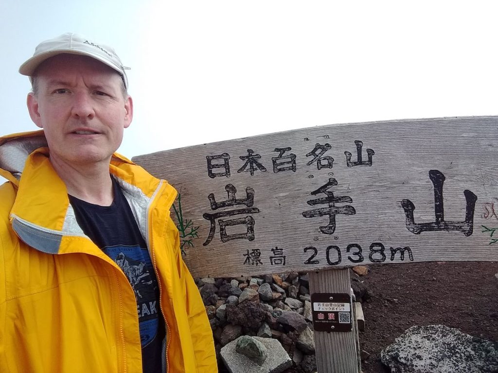
I only had time to take a quick photo by the summit marker and sit long enough to wolf down two onigiri before starting the descent.
I went down by the 13km Yakehashiri (焼け走り) route, which passes another mountain hut, and several fissures where large eruptions of lava had coated the northeastern slope in black stone.
I didn’t see anyone all day, but I did see footprints from one hiker who must have come up and back this route a few hours before me. I could see from the way he crossed snow slopes directly to the next bit of trail that he either knew the area well or was following a GPS track.
Following his trail across these blank sections saved me an enormous amount of time on what began as a steep descent through forest before levelling out far below.
I made it to the trailhead by 5pm, where I found a campground next to a huge lava field, and a friendly office receptionist who called me a taxi to the nearest bus stop.
A 40-minute ride on a local bus took me to Morioka Station. I had 15 minutes to catch an infrequent 3-car local train back to Maesawa, where several cold beers and a warm shower were waiting.
